Posts

Showing posts with the label north channel sailing

Drummond Island to Mackinac City
Image
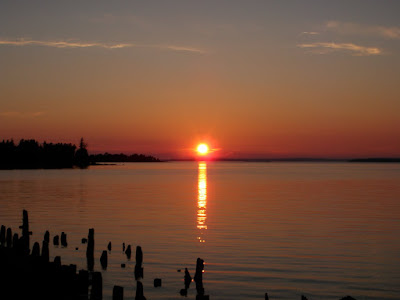
Drummond Island to Mackinac City: 48NM - July 13 We’ve covered a lot of ground since the last blog post. After checking back in to the United States through US Customs, we departed in the morning for a westward run through the Straits of Mackinac to Mackinac City where we met up with Erin’s mom for lunch. Sailing past Mackinac Island for the second time on this voyage made us realize just how far we’ve sailed this year. Isabel and Hannah rode with Nana back to the cottage in on Lake Charlevoix while Erin and I stayed in Mackinac City and reprovisioned to sail the boat west and then south so we could eventually meet back up with the girls on Lake Charlevoix.

Louisa Island to Matheson Island

Image
Louisa Island to Matheson Island July 4, 2010 6NM As you’ll notice if you’ve been following the nautical mileage I post in all the headings, our daily mileage has shrunk and we’ve been spending less time sailing and more time relaxing at anchor. This is by design. Now that we’re midway through our cruise (1 month behind us, just over a month ahead of us) and we’re in the heart of the North Channel we’re taking it slow and stopping at all of the anchorages that call to us on the charts. Today’s destination is little Matheson Island along the North Channel’s northern shoreline. This pretty little rock island has a nice natural harbor that’s protected from the southwest winds forecast for today. As it turns out, we’re the only boat at this off-the-beaten-path island and so we’ll celebrate America’s Independence Day as a family enjoying our freedom to travel, freedom to explore and freedom to grow! Bare in mind, this is a cruiser’s celebration somewhere between here and there so w...

Browning Cove (Heywood Island) to Killarney

Image
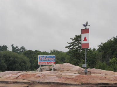
Browning Cove (Heywood Island) - Killarney 14NM Browning Cove was just what we dreamed a proper North Channel anchorage would be like. After spending such a wonderful day there it was hard to leave the next morning, but there’s always more to explore in the North Channel. We left Heywood Island behind in the light air of the morning and proceeded up picturesque Landsdowne Channel past Hole-In-The-Wall. Lansdowne Channel is well protected by the La Cloche Mountains to the north and Partridge, Center and Badgeley Island to the south. As we passed Maxwell Point on Badgeley Island it was time to weave our way through the tricky shoals of Badgeley Rocks and Double Island Ledges. The area is well known for Cash Flow Rock, the rock that many boats run hard aground upon and thereby help cash flow to the fiberglass repair shops in Killarney. With Erin posting a bow watch, I moved slowly ahead through the rocks to the channel leading into Killarney. The town of Killarney reminds me of the m...

South Benjamin Island to Little Current

Image
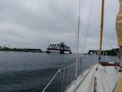
South Benjamin Island - Little Current 16NM The day broke with an overcast sky but the winds from last night had subsided. We pulled the anchor around 8am and began motoring east towards Little Current, the largest town in the North Channel. The wind was light enough that the bugs were out for most of the 3 hour trip. We carefully rounded our way past the Sow and Pigs (rocks just south of the Benjamins), Croker Island and then south of Amedroz Island. As we entered the channel leading to Little Current, we hailed Spider Bay Marina on VHF channel 68 and reserved our slip. Spider Bay was about a ¼ mile walk from town but the marina has free wi-fi and coin laundry facilities on site, so we decided to make it home for one night. After safely docking next to several chartered sailboats, we began cleaning Island Bound . Next it was off to town for a stroll through the gift shops and a stop at The Pantry CafĂ© for lunch. I was treated to the special of the day, a Texas brisket sandw...